Trip to Sardinia Island
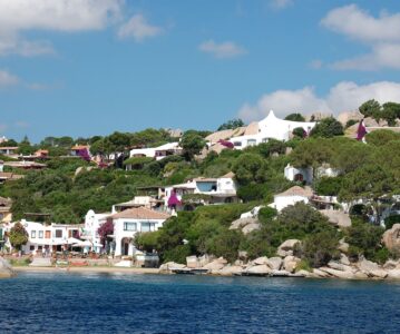
What to do in Sardinia. Sardinia is the second-largest island in the Mediterranean. The sea is beautiful, and nature pampers with warm evenings.
What to do in Sardinia. Sardinia is the second-largest island in the Mediterranean. The sea is beautiful, and nature pampers with warm evenings.
Things to do in Tenerife. La Laguna has long been the capital of the Canary Islands, but today it has merged with the recent capital of Tenerife, Santa Cruz de Tenerife.
Trip to Tenerife In February. You can enjoy the sun and ocean waves. The Canary Islands are part of the European Union because they belong to Spain
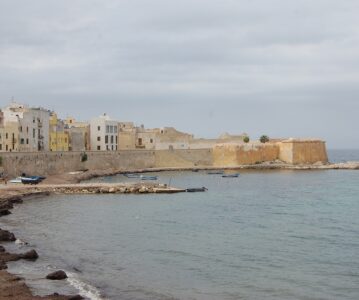
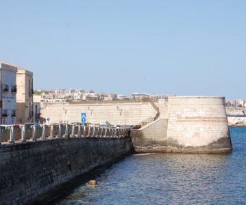
Messina is the third biggest city in Sicily. cireale is a small gorgeous coastal town in the east of Sicily, not far from much larger city of Catania.
Sicily is one of Italy’s regions, the largest island in the Mediterranean Sea. Its territory is almost 26 thousand sq.km, similar to size of Albania.
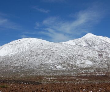
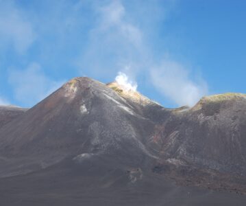
Mount Etna is an active volcano in the eastern part of the Italian island Sicily. Like other active volcanos, it is located in the area between two large geological plates, the Eurasian Plate and the African Plate in this case.
The Istrian peninsula is the largest peninsula on the Adriatic Sea. The distance from Pula to the Slovenian border is around 60 kilometres.
The island of Mainau is in a completely different corner of Germany we visited. The island must be enjoyed simply looking at it and walking around it.
You may cross the border between Latvia and Estonia using main road E67. However, there is an alternative – turn left just before the Estonian border to the small Latvian town of Ainazi.